Garmin inReach vs Suunto MC-2: Emergency Communication UK
Build your personal emergency plan
Free, no sign-up, takes 5 minutes.
Garmin inReach Mini 2 vs Suunto MC-2 may seem an odd comparison at first sight: a £275 satellite communicator against a £80 analogue compass. At EmergencyKitLab UK we argue the comparison makes sense when you frame it around the communication and navigation layer of a family emergency plan. Both are answers to the same question: what happens when the mobile network is down and you can neither contact anyone nor work out where to go? One answer is satellite technology. The other is basic physics.
This EmergencyKitLab UK guide compares the Garmin inReach Mini 2 with the Suunto MC-2 from the angle of a household emergency plan. It is not a battle between two competing products but an analysis of two distinct redundancy layers. At the end you get a clear recommendation by budget, scenario and tolerance for technology dependence.
Comparison table: Garmin inReach Mini 2 vs Suunto MC-2
| Spec | Garmin inReach Mini 2 | Suunto MC-2 |
|---|---|---|
| Type | Satellite communicator | Analogue mirror compass |
| Network used | Iridium (worldwide) | Earth’s magnetic field |
| Battery dependence | Yes (internal rechargeable) | No |
| Autonomy | 14 days in 10-min tracking | Indefinite |
| SOS function | Yes, with 24/7 response | No |
| Text messaging | Two-way | N/A |
| Mapping reference | Yes (GPS location) | Yes (magnetic bearing) |
| Running cost | £15–£65/month subscription | £0 |
| Weight | 100 g | 78 g |
| Resistance | IPX7 (1 m submerged 30 min) | Fully waterproof |
| Estimated lifespan | 7–10 years (battery) | 30–50 years |
| Price on Amazon UK | ~£275 | ~£80 |
| Amazon rating | 4.5 / 5 | 4.6 / 5 |
The headline point: one tool costs £275 + £180/year of plan, the other costs £80 once and lasts a lifetime. But the first can save a life in an area with no coverage. The second cannot save anyone on its own, but it guarantees you know where you are going if everything else fails.
Garmin inReach Mini 2 in detail

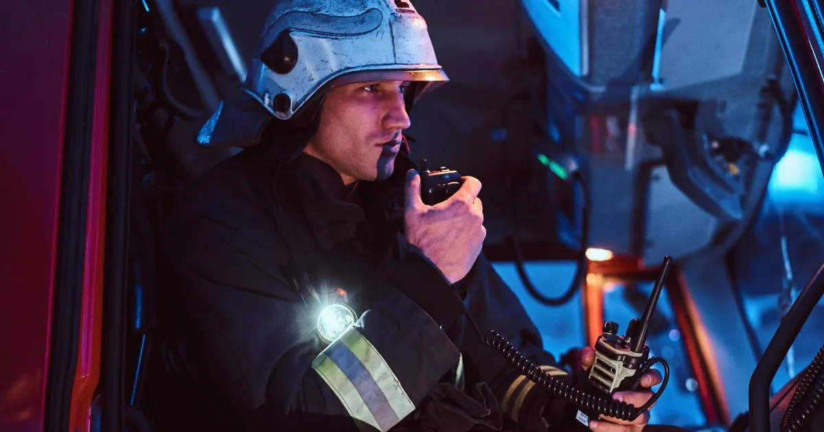
The inReach Mini 2 is the bestselling satellite communication device in the European outdoor segment. It weighs 100 grams, fits in a shirt pocket, and connects directly to the Iridium constellation to send text messages, share location or trigger SOS from anywhere on the planet with a view of the sky. Garmin acquired Iridium partly to secure the long-term viability of this product line.
What the team likes:
- Real coverage across 100% of the UK, including the Cairngorms, the Lake District, Snowdonia, the Hebrides and offshore waters
- SOS function linked to an international 24/7 coordination centre with verified protocols
- Programmable preset messages: set “I’m safe, home tomorrow” + two contacts + your partner knows you are OK without you typing
- 14-day autonomy in 10-minute tracking mode (location ping every 10 minutes)
- Garmin Explore app integrates TopoActive offline maps and route planning
Where it falls short:
- £275 is a significant outlay, and the required plan adds £15–£65 monthly when active
- If the subscription has lapsed when the emergency strikes, SOS does not work (Garmin runs a one-off paid emergency line but you have to remember it)
- The cheapest “Safety” plan (£15) caps monthly messages — heavy use means the £35–£65 tier
- Depends on a rechargeable battery (USB-C); flat battery means no signal
Best for: active families with a love of the hills, travel in remote areas, evacuation to rural regions without coverage, a backup communication plan for scenarios where the mobile network may collapse.
Garmin inReach Mini 2
Compact 100 g satellite communicator with 24/7 SOS, two-way messaging, GPS tracking and 14-day autonomy. Worldwide Iridium coverage. Subscription required.
Check price on Amazon UKSuunto MC-2 in detail

The MC-2 is the reference compass of professional users in Finland and beyond. Liquid-filled capsule with quick damping (the needle settles in 2–3 seconds), folding mirror with sighting notch for distant references, 1:25,000 and 1:50,000 scales etched on the baseplate, tool-free declination adjustment, and a bubble level to guarantee horizontal reading. It works in cold, in damp, underwater, and without attention for decades.
What the team likes:
- Zero dependence on batteries, subscriptions, satellites or any signal
- Oil-filled capsule keeps the reading accurate for 30–50 years
- Mirror function allows optical signalling at a distance with a torch or sunlight (international distress sign)
- Etched scales work directly with Ordnance Survey 1:25,000 and 1:50,000 maps
- Declination adjustment (currently around 0–2° west across the UK, varies by region) lets you work with modern maps without recalculating
Where it falls short:
- It will not get you out of an area without knowing where you are: it needs a paper map and a known starting point
- In areas with magnetic minerals (parts of Cornwall, parts of Scotland) the reading can drift
- Real learning curve: most buyers do not know how to use it beyond “north is that way”
- It does not communicate or call for help — it is a navigation instrument, not a rescue tool
Best for: a family emergency kit where evacuation on foot without GPS is a real scenario, finding a pre-agreed family meeting point, navigating without mobile coverage, a complementary tool to GPS so you are not at the mercy of a flat battery.
Suunto MC-2 Compass
Professional mirror compass with folding sighting mirror, 1:25k and 1:50k scales, declination adjustment and bubble level. No batteries, no subscription, lifespan measured in decades.
Check price on Amazon UKWhich one for your situation
The team’s honest answer: ideally both. If you have to pick one, it depends on which scenario worries you most.
Your biggest fear is a hill accident without mobile coverage: Garmin inReach Mini 2. The SOS with international response is the only thing that substitutes a 999 call when there is no signal. For hill walkers, climbers, kayakers and anyone working in remote areas, the inReach is genuine life insurance.
Your biggest fear is an on-foot evacuation (flood, wildfire, infrastructure failure) where all technology goes down: Suunto MC-2 + a paper Ordnance Survey map of your area. No batteries, no satellites, no subscription, nothing to break or expire. It will work in 30 years the same way it works today.
You have £80 budget: Suunto MC-2 + an OS Explorer (1:25,000) sheet for your area (£10 in any outdoor shop). Covers on-foot evacuation without further cost. The logical first step of your analogue backup plan.
You have £275 budget: Garmin inReach Mini 2. Covers the remote accident scenario with reasonable safety margin. Activate the Safety plan only when you head out beyond mobile coverage.
You have £400 budget: both + paper map + a notebook with emergency phone numbers written by hand. That is the complete family communication and navigation emergency plan.
You live in a flat and never leave the city: the MC-2 still earns its place for urban evacuation towards a meeting point. The inReach is overkill unless you travel often.
The EmergencyKitLab UK team verdict
EmergencyKitLab UK recommends always starting with the analogue layer: a Suunto MC-2 compass + paper OS map + a hand-written family evacuation plan kept in the bag. It is the highest-return investment in any communication kit because it works in every scenario, including the worst case where everything else fails. For £80 you get a guarantee of orientation for 30+ years.
The Garmin inReach Mini 2 enters as an additional layer when your scenario includes activity beyond mobile coverage. For a family that walks in the Cairngorms every summer, climbs in Snowdonia, sails in coastal waters or travels to remote destinations, the inReach moves from luxury to critical tool. Manage the subscription by activating only during real trips.
The team rejected the “just the inReach, no compass needed” route because the dependence on battery and subscription creates a single point of failure: lapsed account, flat battery, device cracked in a fall, and you have lost all your orientation capacity. The compass is the insurance on your insurance.
A note from the team’s March 2026 evacuation drill: we set off from a known starting point in the Peak District, no GPS, just the MC-2 and a 1:25,000 OS Explorer sheet. We reached the destination point (3.5 km straight line, 5 km on the actual path) in 1h 40m with two orientation stops. The team member who had navigated most recently had done so four years earlier — the learning curve is not trivial but comes back fast. Internal takeaway: buying the compass without learning to use it is mostly a placebo. Run a real drill with the family before you need it for real.
Build the full communication plan
A compass and a satellite communicator cover the far ends of the range. For day-to-day family planning, the best emergency radios 2026 covers short-range reception of weather and news without depending on network or satellite.
The family evacuation plan step by step explains how to combine the different layers (mobile, walkie-talkie, satellite, physical message at an agreed point) into a protocol every family member can remember under stress.
Which communication tools do you actually need by household, area and likely scenario? The EmergencyKitLab UK planner generates your communication kit and orders purchases by real-world impact.
Some links are Amazon affiliate links — no extra cost to you. Prices and ratings were verified in May 2026 and may vary.
Prices are indicative and may vary on Amazon.
Looking for products mentioned in this article?
Products reviewed by our team on Amazon, all rated 4+ stars.
UK emergency preparedness editorial team
The EmergencyKitLab UK editorial team. Volunteers and emergency-logistics specialists adapted to British risks: Atlantic storms, flooding, power cuts and heatwaves.
Frequently Asked Questions
Does the Garmin inReach Mini 2 work across the UK without mobile coverage?
Is the Suunto MC-2 useful for orienting in a city or only in the hills?
Why include both tools instead of choosing just one?
What does it cost annually to keep the Garmin inReach plan active?
Does the Suunto MC-2 compass need batteries or periodic calibration?
Related Articles
72-Hour Survival Bag: Complete Checklist Organized by Weight
What to pack in your 72-hour survival bag and how to organise it so you can find everything in the dark. Full checklist with real weights and priority order.
9 min read7 Emergency Radios Tested: Only 2 Survive 48h Without
7 emergency radios tested in 2026: only 2 last 48h without recharging. After Hurricane Helene, we compared real battery life starting at £25.
12 min readFamily Evacuation Plan 2026: Step by Step
Escape routes, meeting point, roles for each person, and practice drill: create your family evacuation plan step by step and act before the emergency arrives.
9 min read